Dynamic Weather Effects
Set in the Terrain Properties (Alt+7):
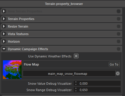
If you need - download vanilla main_map_snow_flowmap.png here
Make changes for your map, import and use your image.
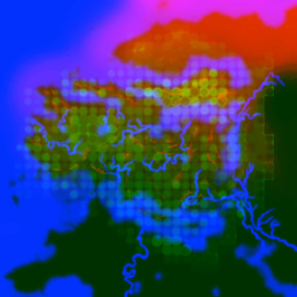
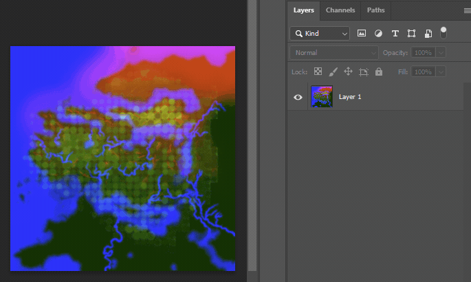
This image encodes different information in Red, Green and Blue channels:
- Red is for snow
- Green is for clouds and precipitation
- Blue is where you don't want snow
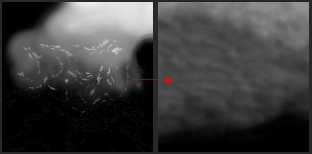
Red Channel
This channel encodes information where and when snow will appear. White color intensity determines when snow will be shown.
For example: intensity 70-75 is for a snow only in the winter. 255 - for eternal snow.
For the best-fastest result I used Photoshop's Clone Stamp Tool to create my snow map from the vanilla one:
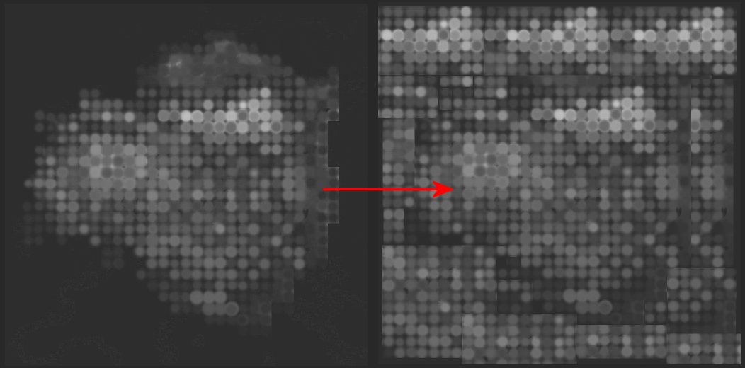
Green Channel
This channel is for for clouds and precipitation.
I don't know how to decode the vanilla bubbles, so again - copy/pasted to cover the whole area:
Blue Channel
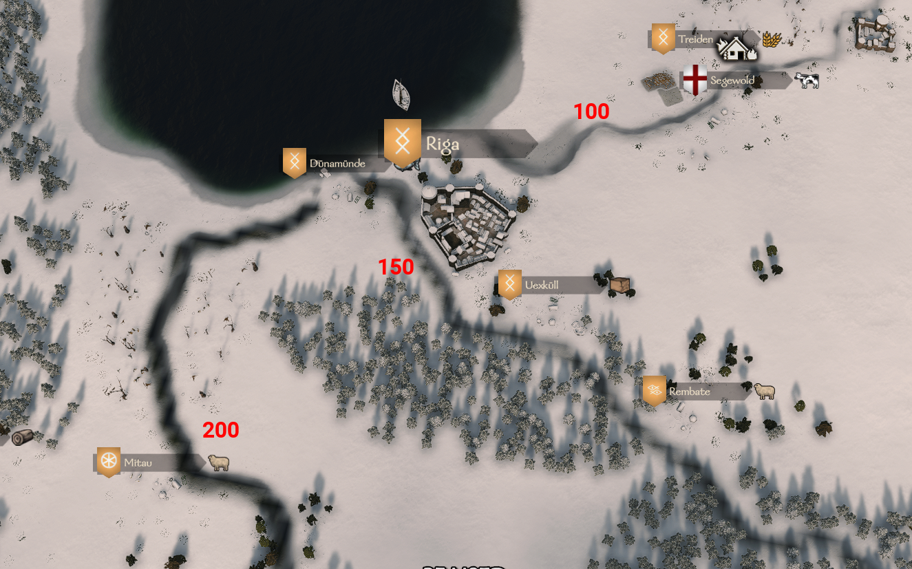
This channel is where you don't want snow. It's a simple mask, where white - zones where no snow will be present.
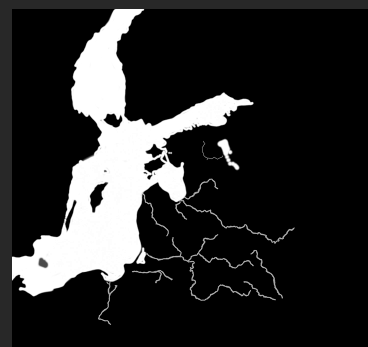
Usually used to cover the sea beds and lakes.
I used different levels of white (100-150-200) for different river coverage in winter: